1. ‘Carte concernant l’exploitation des pètroles du Nord, Est et de l’Est confordément au projet présenté à la Chambre’ Date: 1937/1937 Language: FrenchPersian Extent: 1 map
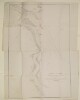
2. 'Sketch of the Course of the Shat Ul 'Arab from the Entrance to Mahomerah' Contributor: James Felix Jones (surveyor) Date: 1857/1857 Language: EnglishPersian Geographic region: Shatt al ʻArab Extent: 1 map
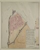
3. 'Persian Plan of the Town and Fortifications of Bushire, previous to the bombardment by the British in 1856' Date: 1856/1856 Language: EnglishPersian Extent: 1 plan sheet
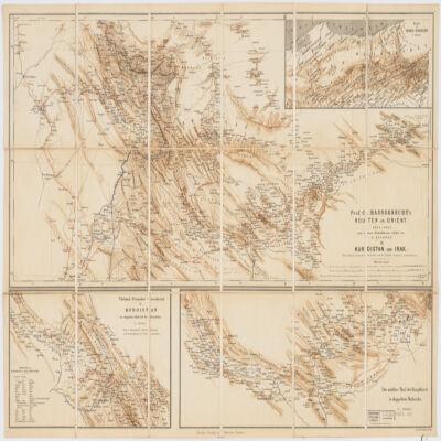
4. Prof. C. Haussknecht's Routen im Orient 1865-1869III. Kurdistan und Irak Creator: Kiepert, Heinrich, 1818-1899 (المنشئ) Date: Date Issued: 1882 Language: GermanTurkishPersian Geographic region: Place of Production: gw, Germany, BerlinKurdistanMiddle East Extent: 1 map : col. ; 32 x 71 cm.