The map shows Mesopotamia and the Turco-Persian frontier with the main rivers and cities. A red line indicates the principal pilgrim route from Hamadan, Persia, to Nejef.1 mapMaterials: Printed on paper.Dimensions: 330 x 200mm.
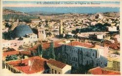
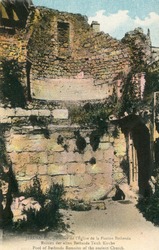
https://libraries.aub.edu.lb/xtf/data/postcards/ark86073b3vp4k/thumb.jpg1 photomechanical print (postcards) : color ; 9 x 14 cm.Title from item.Captioned in French.No. 013.
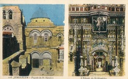
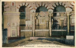
https://libraries.aub.edu.lb/xtf/data/postcards/ark86073b3zc7j/thumb.jpg1 photomechanical print (postcard) : color ; 9 x 14 cm.Title from item.No. 18.Captioned in French.
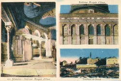
https://libraries.aub.edu.lb/xtf/data/postcards/ark86073b3bp4x/thumb.jpg1 photomechanical print (postcard) : color ; 9 x 14 cm.Title from item.Captioned in French.No. 21.
https://libraries.aub.edu.lb/xtf/data/postcards/ark86073b3q592/thumb.jpg1 photomechanical print (postcard) : color ; 9 x 14 cm.Title from item.Captioned in English, French and German.
https://libraries.aub.edu.lb/xtf/data/postcards/ark86073b3dk5w/thumb.jpg1 photomechanical print (postcard) : color ; 9 x 14 cm.Title from item.Captioned in French.